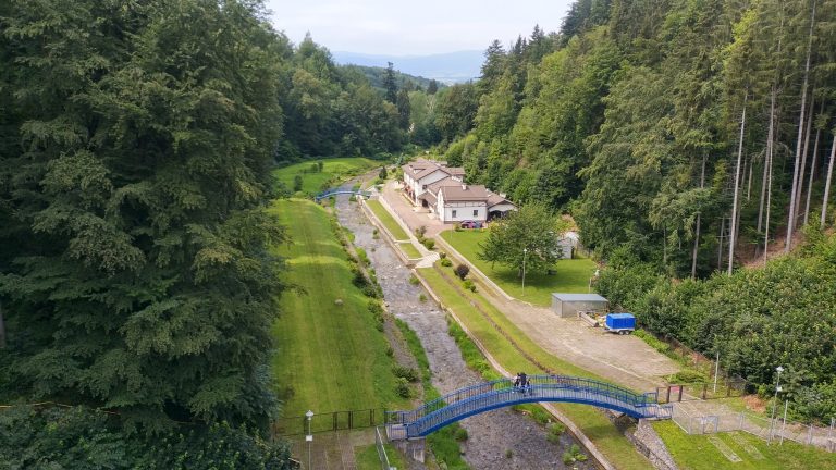

Dam on the Wilczka – Międzygórze stream
The flood control reservoir was erected at the beginning of the 20th century (1905-1908) and is located on the Wilczka River in Międzygórze, below the waterfall and the ravine.
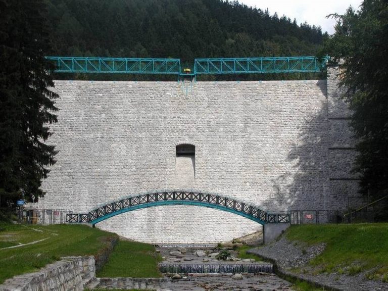
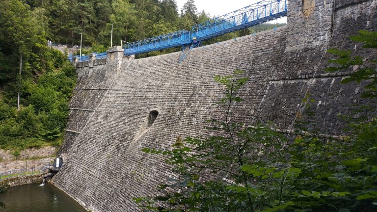
The stone dam is over 29 m high and 108 m long. The reservoir can hold almost 1 million cubic meters of water, but during the heavy rains and floods in 1997, it turned out to be insufficient and the excess water overflowed over the upper edge of the dam.Below the dam, Wilczka flows out of the Śnieżnik Massif to the Górna Nysa Trench and crosses the border of the Śnieżnik Landscape Park. The dam on Wilczka is one of the many attractions of Międzygórze, it also serves as an excellent vantage point.
The dam is located at the entrance to Międzygórze, about 200 meters from the main road, a green hiking trail runs through it towards the Igliczna Mountain.
- Lat
- 50.2313261959322
- Lng
- 16.74981841351837
- Navigate to object
- Click to calculate route